In the early ought’s, Melanie and I were Masters of our local cub scout troop. Predominantly done to give Jourdan the opportunity to be a cub scout, it was a very rewarding experience in working with these young people providing support in their journey to adulthood.
When we first started, the troop numbered nearly ten, but over the years it dwindled down to just a couple. Don’t honestly know the cause, but we maintained as honestly, we enjoyed doing it.
Typically we would organize some sort of field trip for the youngsters, which is the focus of this post.
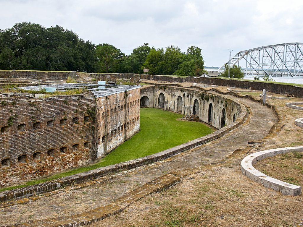
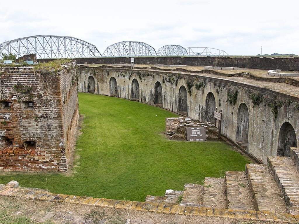
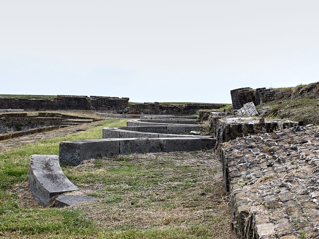
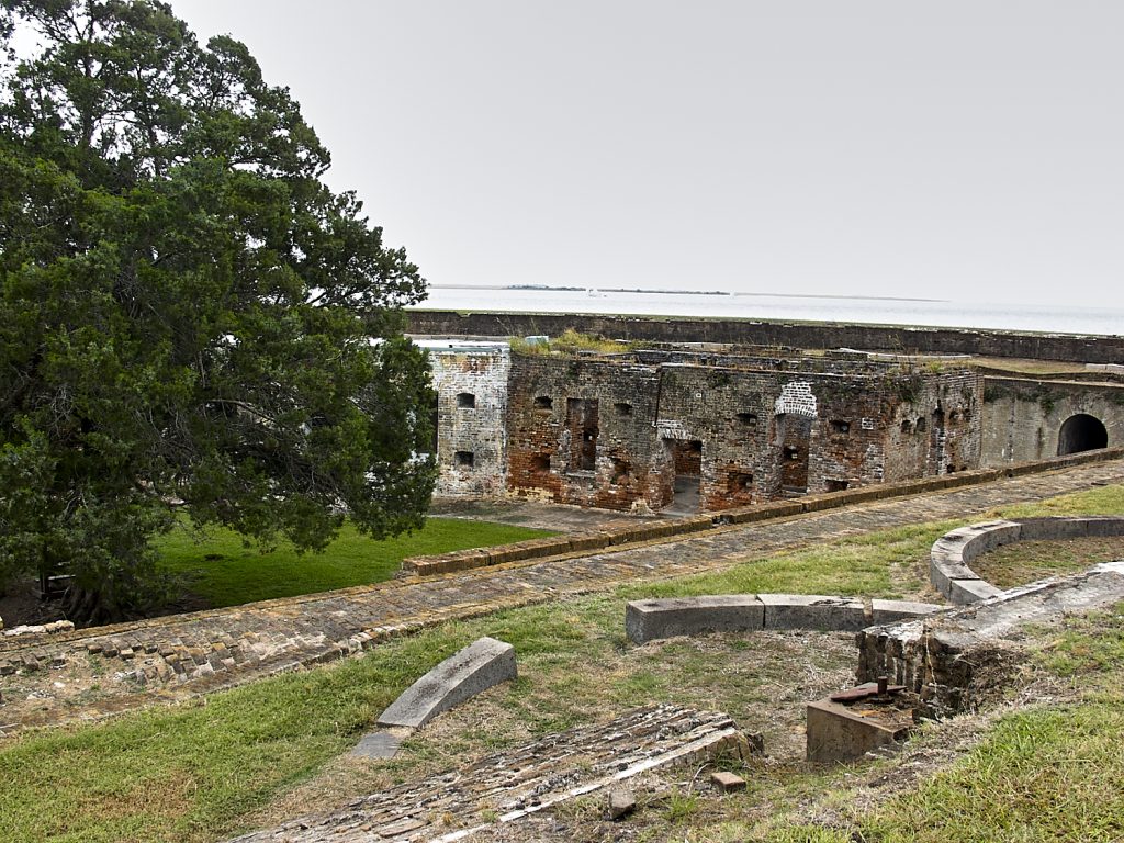
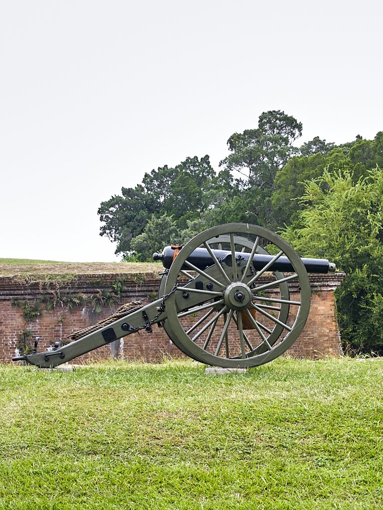
In early fall of 2003, we took a trip to Fort Pike State Park in South East Louisiana. Located at the mouth of Lake Pontchartrain, it was one of three defensive structures built in the early 19th Century.
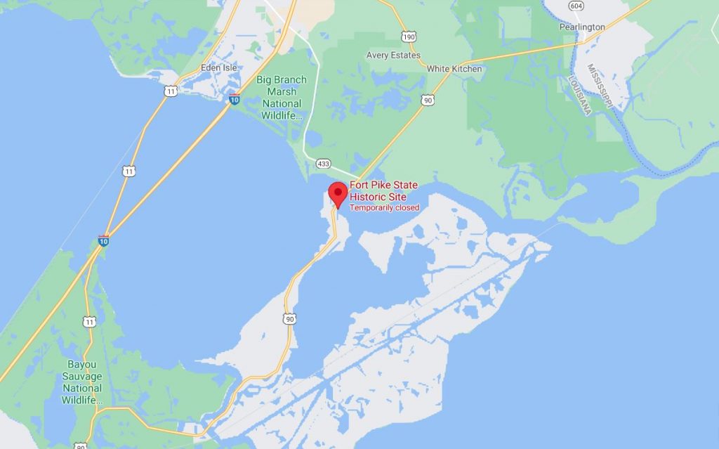
Per information from the state of Louisiana’s state park division, “Construction of Fort Pike was begun in 1819 and completed in 1826, Fort Pike was named for the explorer and soldier General Zebulon Montgomery Pike (1779-1813) whose name is also attached to Pike’s Peak in the Rocky Mountains. Fort Pike is the first of the Third System fortifications, a group of brick and masonry structures built between 1816 and 1867. The fort was designed to withstand attack from land or sea.”
In those days the park was well maintained and entertained a sizable number of visitors and was a very interesting place to visit. Unfortunately the flooding from Hurricane Katrina inflicted considerable damage to the facility, and it’s been closed since.
This particular trip the Olympus E10 came with us. The camera was becoming more familiar at that point, and while a couple of photo adventures were had with it since the last post of the Gulf Coast vacation, this was the next one which highlights RAW imagery capture. ‘Twas early days in the digital photo world, and there weren’t a lot of tools for processing RAW images. As mentioned last time, I had found a utility to convert the ORF files into jpgs so they could be processed in the copy of Photoshop Elements I had bought.
Honestly don’t know if the converter was any good as none of the jpg’s produced from those days exist any longer. The one’s presented here were processed in Capture One v12.1.5. To be honest C1 does a very nice job with them. C1 is a good tool for processing images. Organizing images, well not so much….
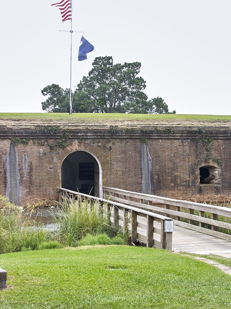
The entrance to the fort was this bridge over the protective moat around the fort. This was early days and lessons learned from eon’s of protection were still prevalent when this was constructed.
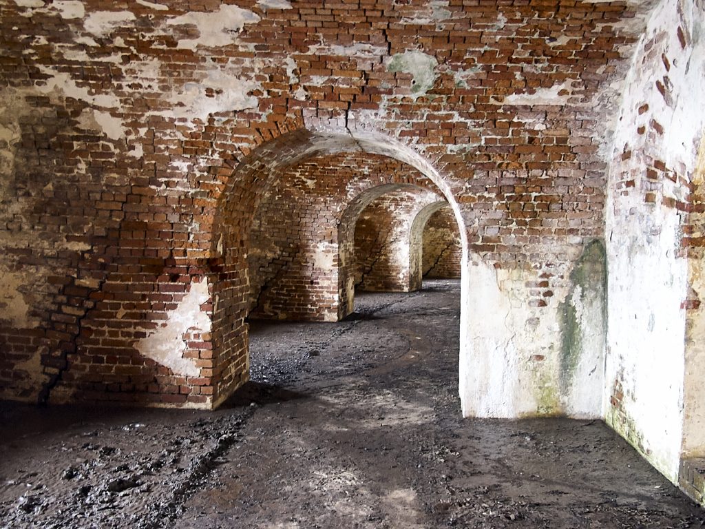
Entering into the “inner sanctum” if you will, this is what met us. This image looks bright and airy. In reality it was anything but. It was dark, dank and dreary. Not the kind of place you would want to spend much time. The floor was wet as the base of the fort is below the outside water level, so the dirt floor never dries.
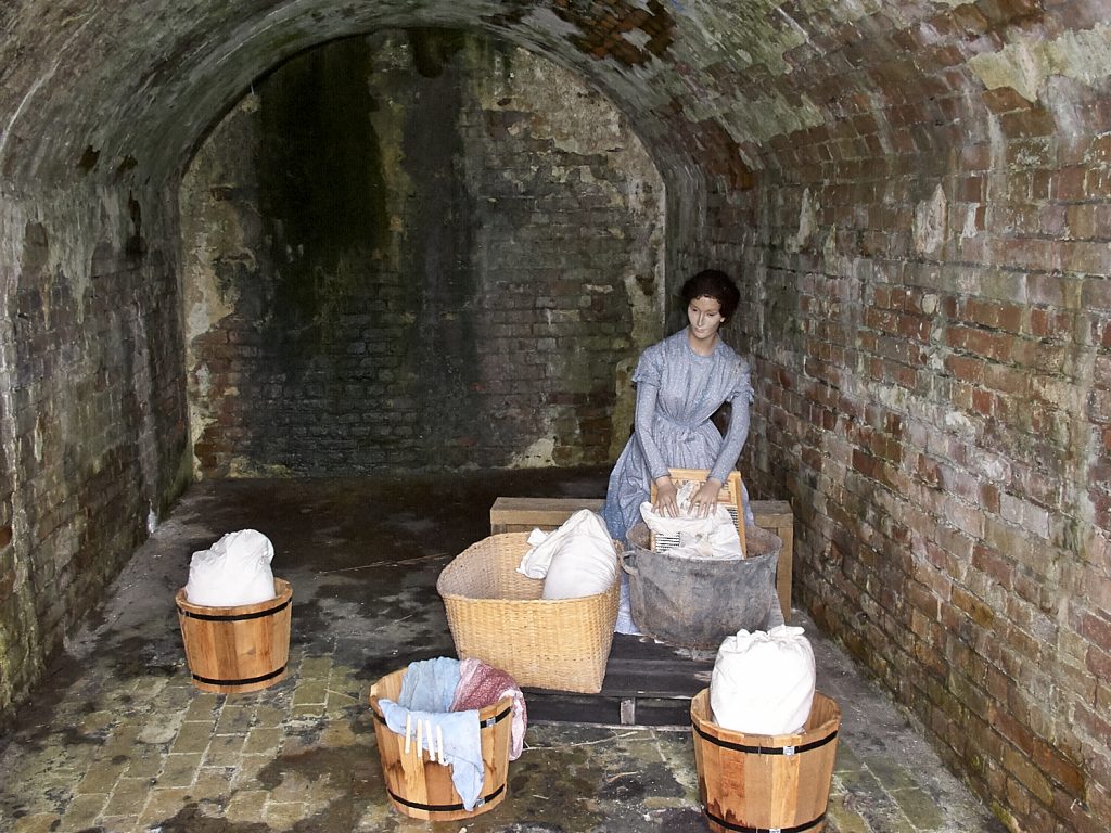
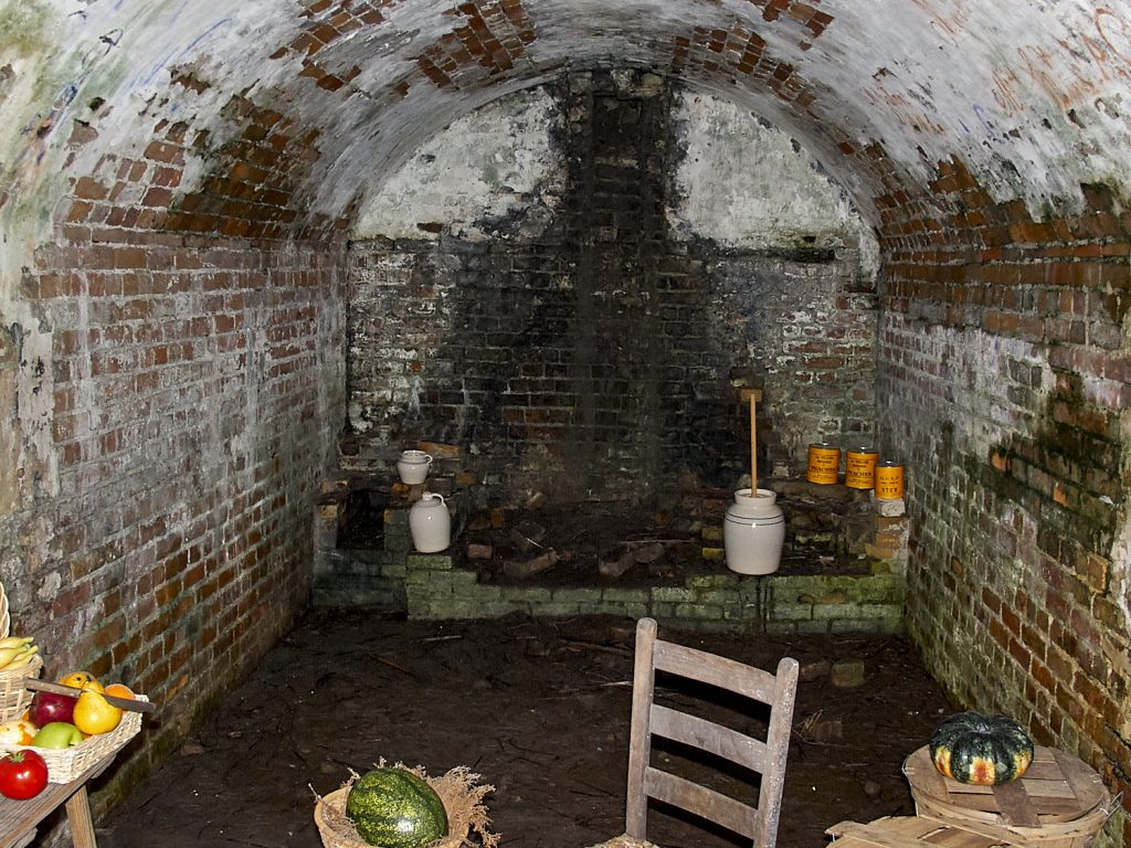
These diorama’s had been erected to give a glimpse of life in the fort. The thing to remember is this is coastal Louisiana, so much of the year it’s hot and muggy. The cave like dwellings provided a bit of respite from the sun, but it was still very close inside. As you can see the walls are wet with moisture from the humid air and the surrounding Lake.
As we toured the inside of the fortification, tantalizing glimpses of the outside world began to greet us.
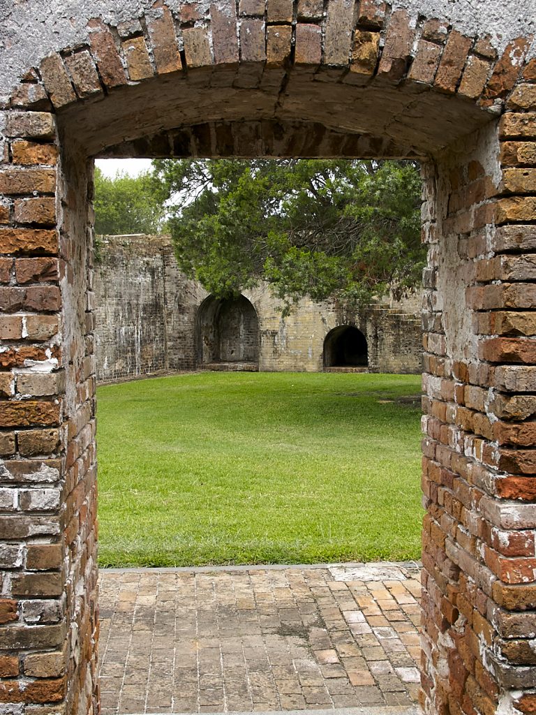
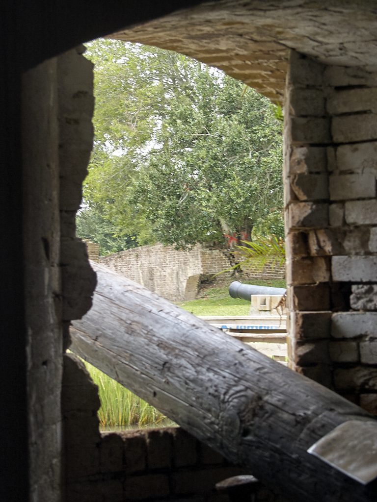
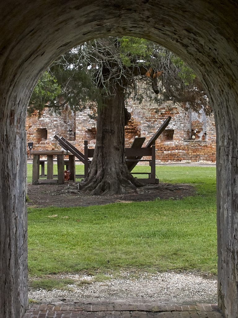
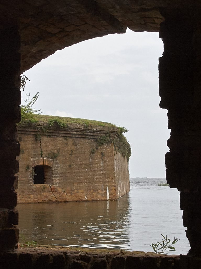
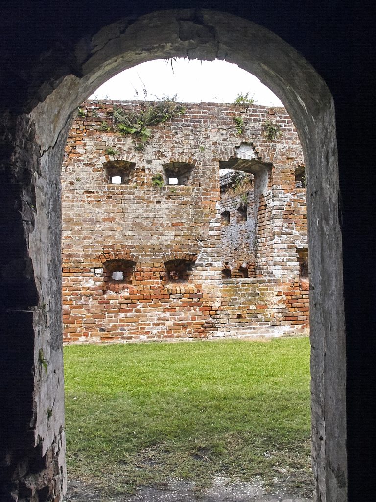
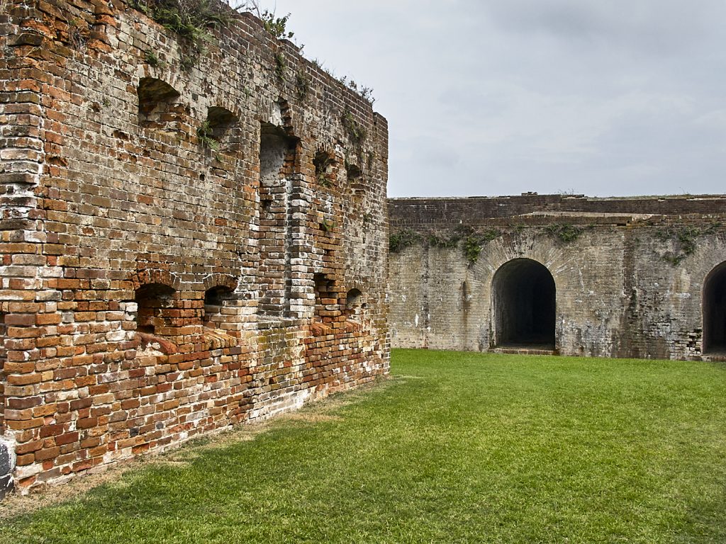
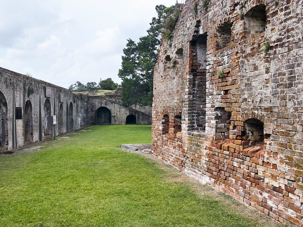
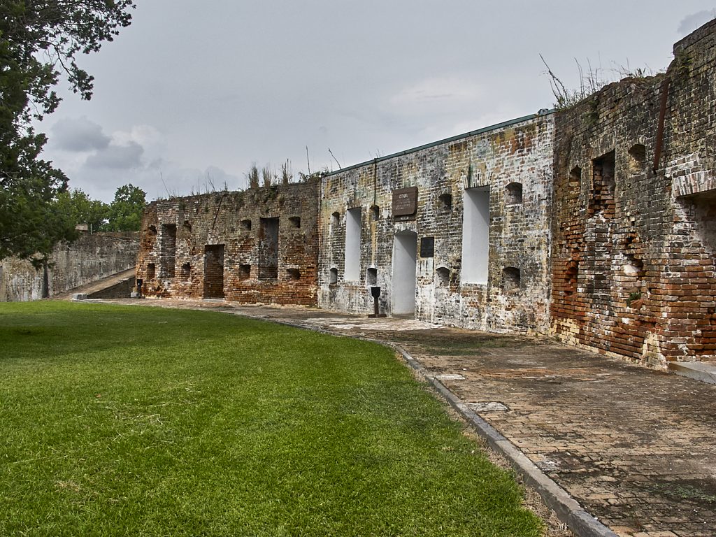
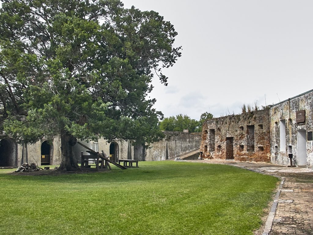
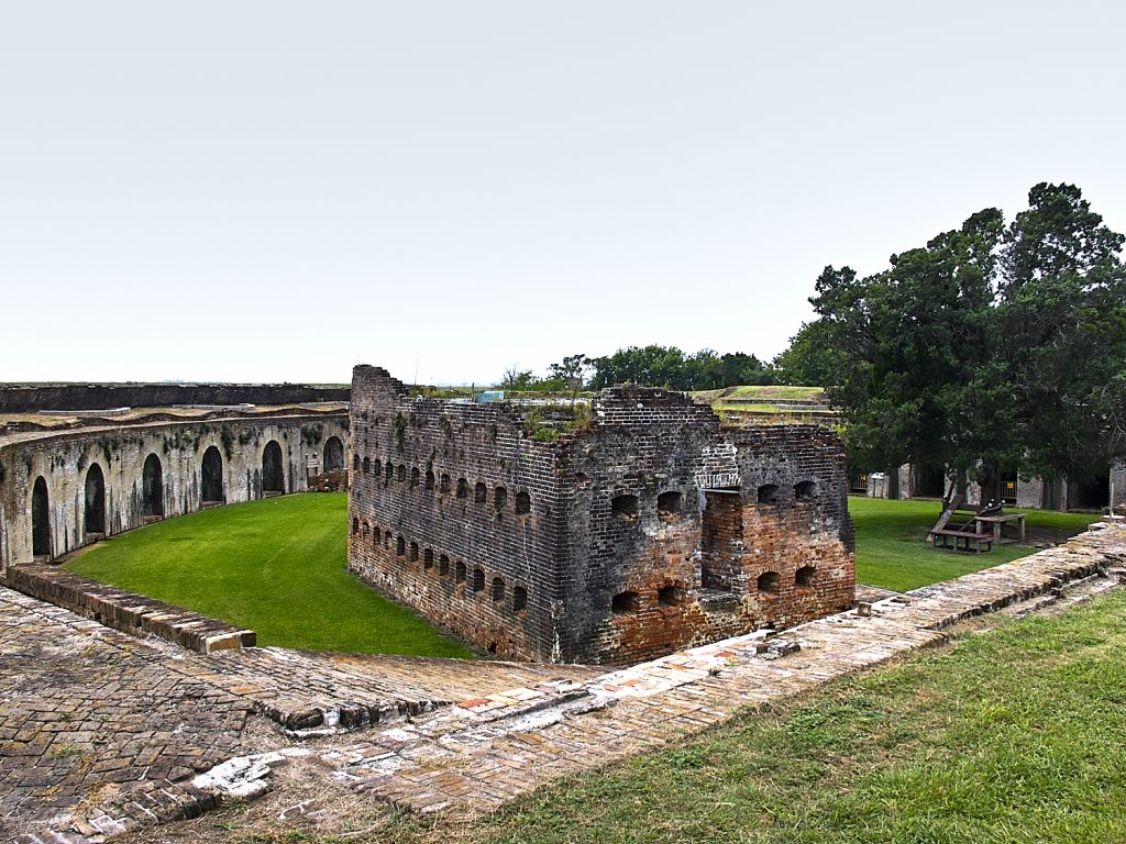
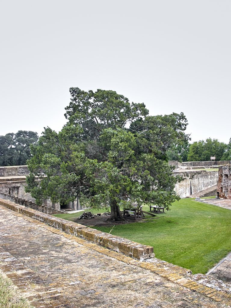
Finally the catacombs led out into the base of the fortification. We had been walking around in the fort for some time and were glad to be out in the sunlight. Walking around the infield this is what we found:
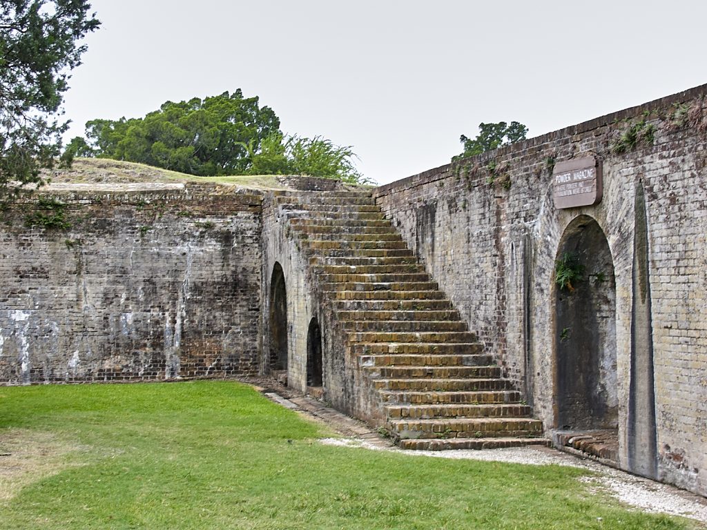
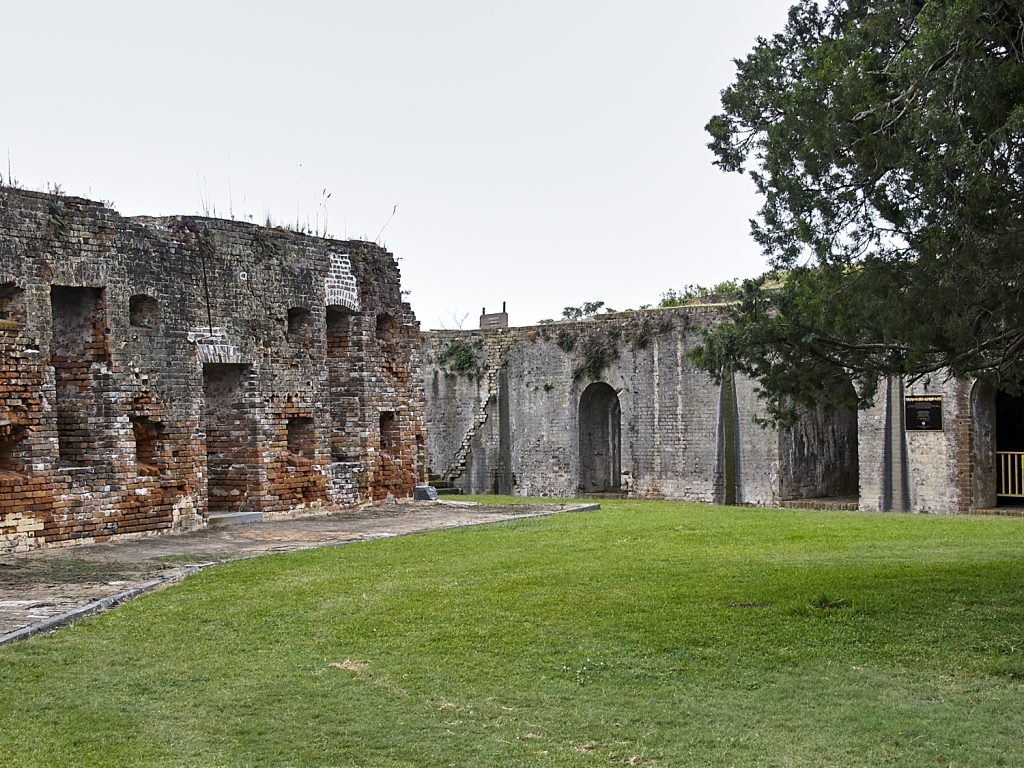
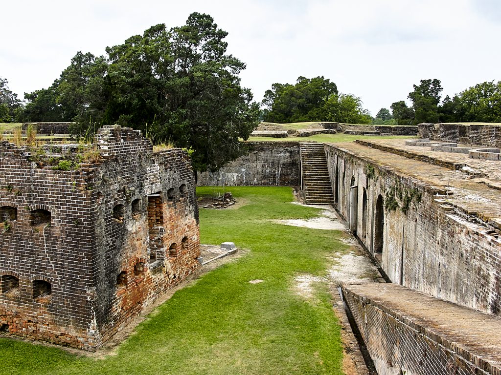
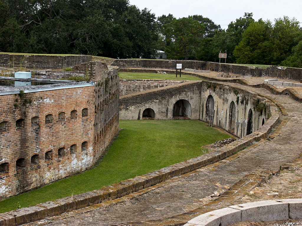
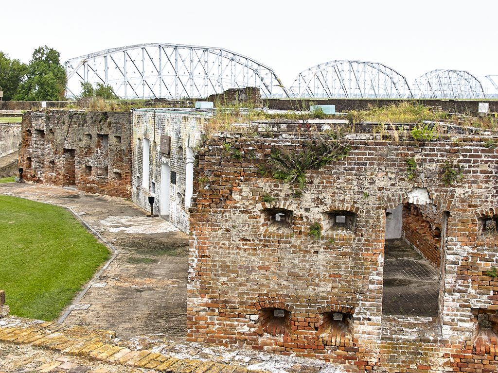
A staircase on the inner wall allowed us entry to the top of the fortified structure for a completely different view of the facility.
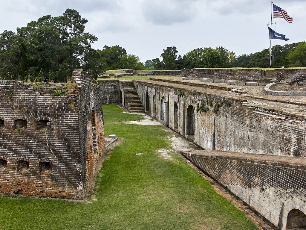
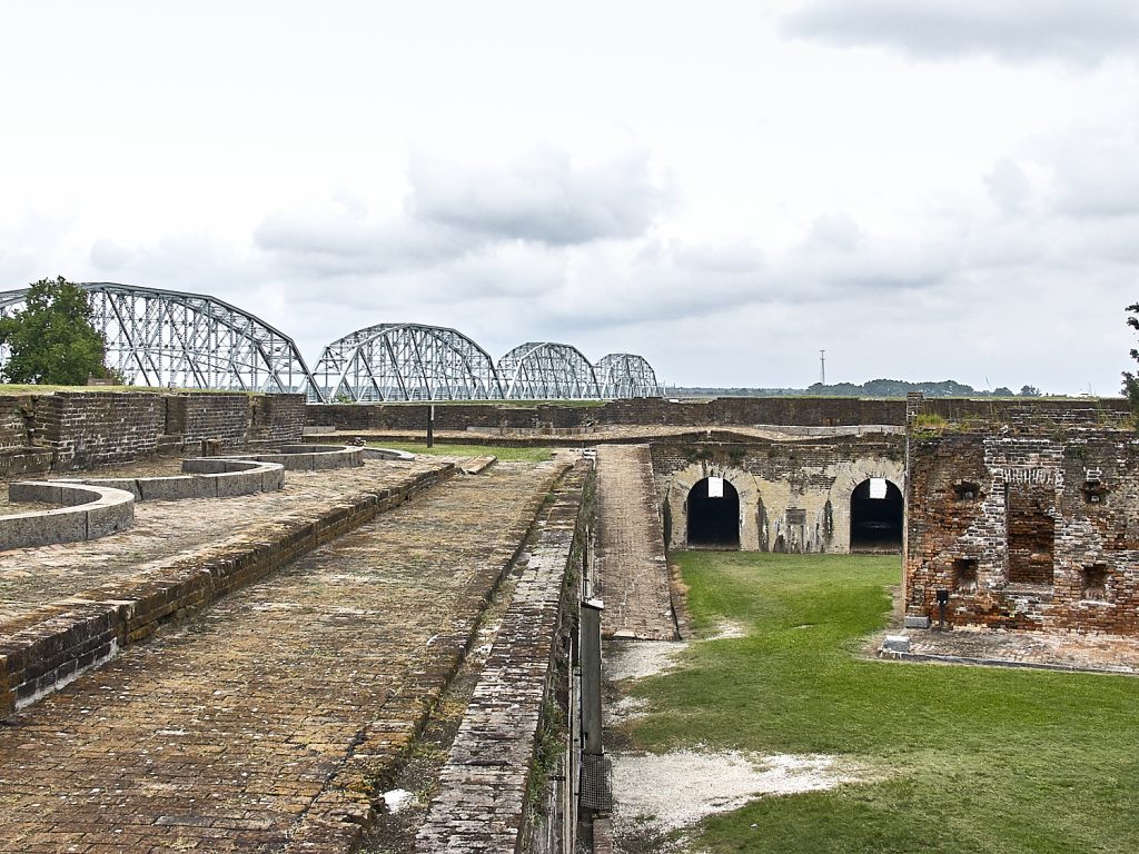
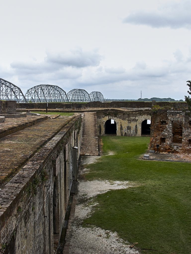
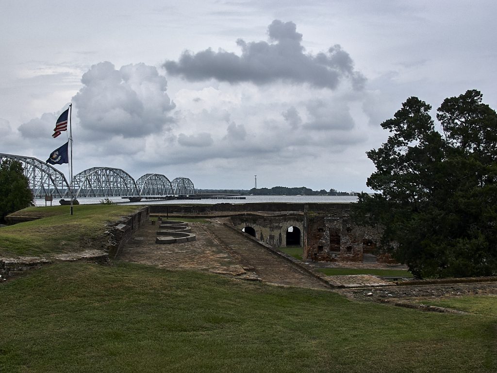
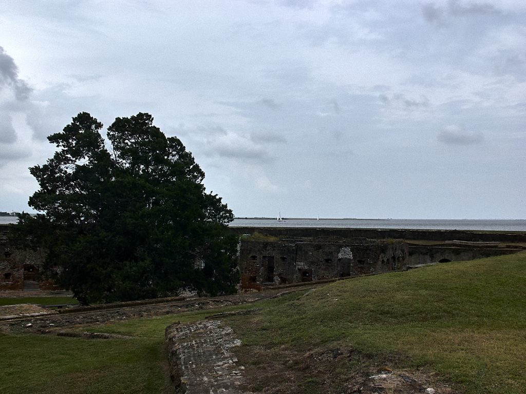
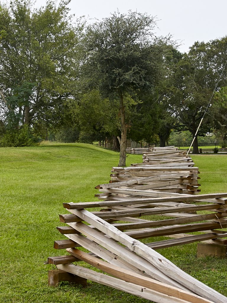
After walking around for quite some time, we ventured outside the fort to see the outer perimeter
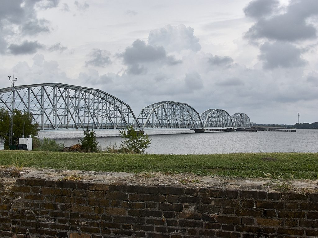
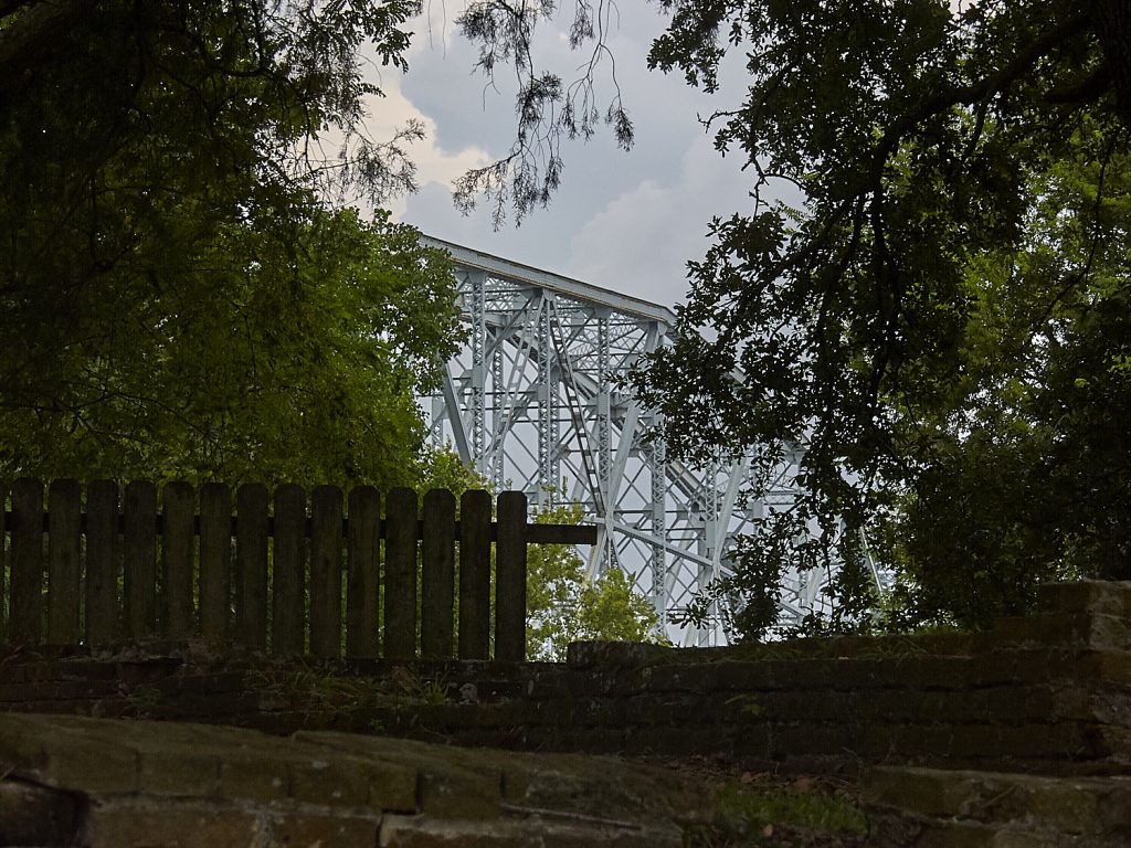
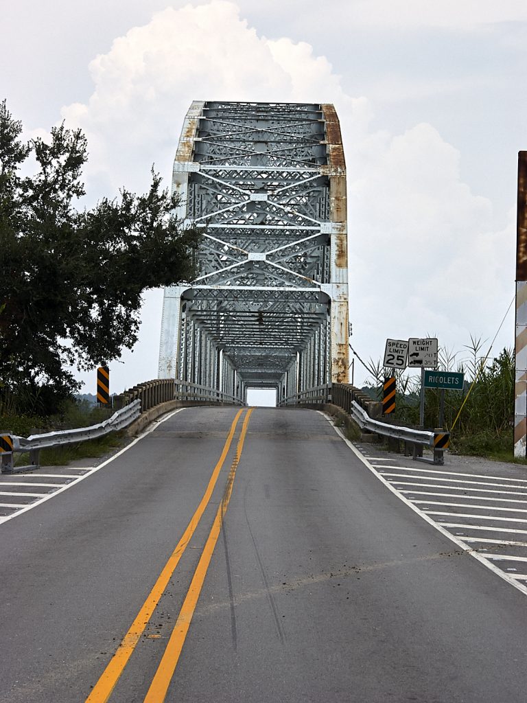
There have been a number of glimpses of this bridge, which at the time crossed over the Rigolet’s on Highway 90. Once upon a time, before the Interstate System, Highway 90 was the main thoroughfare from the East Coast to the West Coast and this bridge was the only way to cross the Rigolet’s. It was supplanted in the 1970’s by the I-10 bridge which is a couple of miles north of the fort. As it turns out, the bridge was replaced after Katrina with a much more modern one allowing vessel traffic without the need for a drawbridge. Progress, if you will.
That’s all for this adventure. It’s extremely doubtful that Fort Pike will ever be open to the public again. It was a fascinating glimpse of life in a bygone era, but the cost of making it safe again is likely to be prohibitive. Unfortunate.
Until next time!
